How Directional Drilling Works in St. Louis Ground
Two banks: the Cave State's rock and the American Bottom
The metro's geology splits at the river: the Missouri bank is the Cave State in miniature — flat-lying limestones honeycombed enough to lead the nation in mapped caves, with genuine sinkhole plains in parts of St. Louis and Jefferson counties, all under a loess-and-residuum mantle that moves rock depth block by block. The Illinois bank is the American Bottom — the Mississippi's great floodplain, deep alluvial sands and clays running from the levee-protected industrial flats to the bluff line where Belleville's and Edwardsville's uplands resume. One bank asks rock-and-void questions; the other asks water-and-settlement questions; and bank-honest quoting refuses to average them, because the river between is a geological border with a current.
The rebuild era and the two-state machine
Two systems set the metro's tempo. The rebuild: the regional sewer district's consent-decree program — tunnels, storage, separation — is a generational reshaping of the underground, and smart projects coordinate with its geography and its documentation standards rather than discovering them. The machine: bi-state life means MoDOT and IDOT, two One-Calls, two environmental agencies, the independent city's own world, and a county-municipal quilt with dozens of counters — all run at one desk as a single workflow, every authority named per crossing. Neither system forgives improvisation; both reward the filed-early-and-complete habits our quotes are built on.
The sequence, Gateway edition
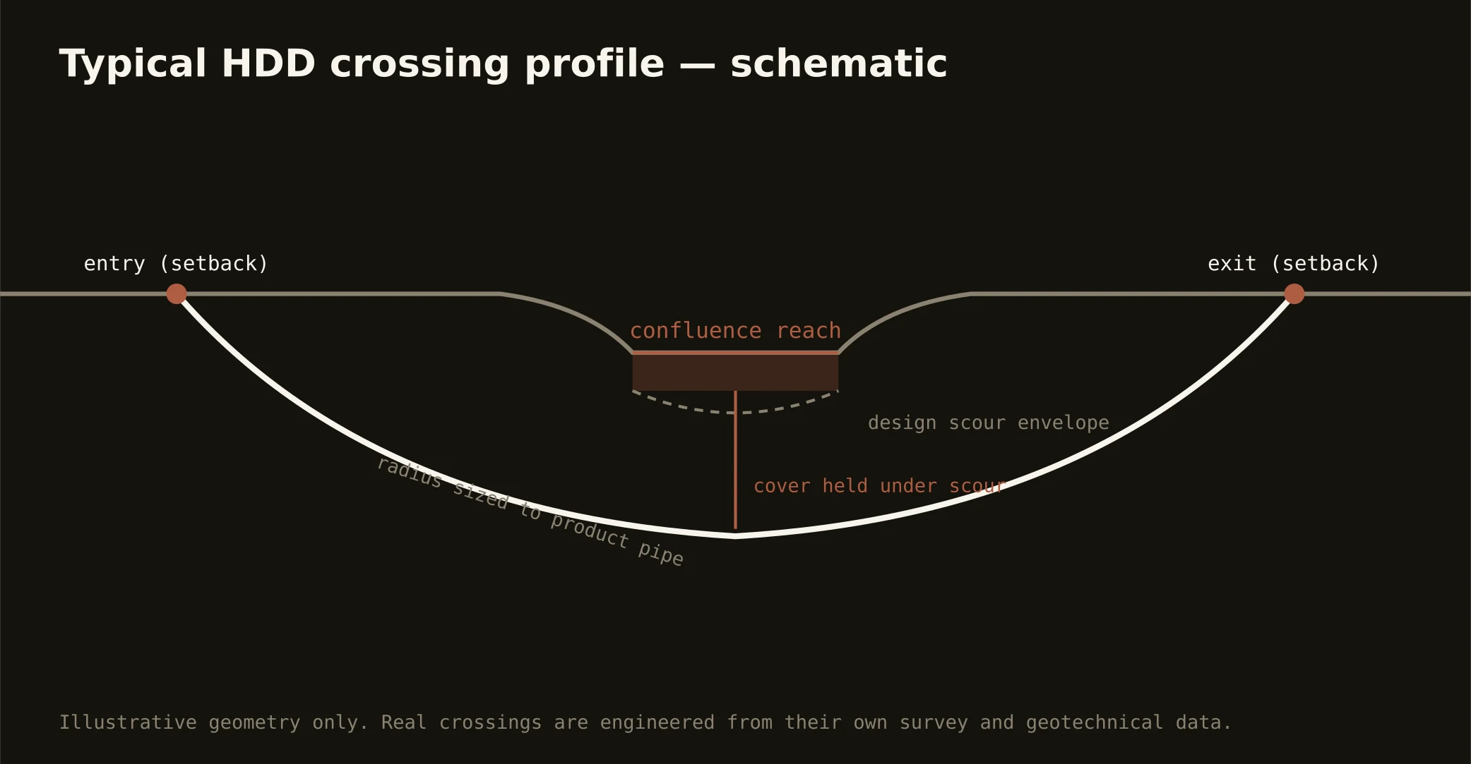
The bones are standard — locates plus private designating, potholes on every claimed utility, pilot on profile, ream to about one and a half times the product, pull, restore. Gateway bends: bank-named tooling with karst manners on the rock side and dewatering on the Bottom, sinkhole-map review where the plains apply, levee-district criteria in the protected flats, both One-Calls honored, rebuild-program coordination where the district's geography says so, and restoration that treats brick-street neighborhoods, county lawns, and Bottom headlands as the different surfaces they are.
Who owns what you're crossing
The independent city runs its own full permitting world; St. Louis County's municipal quilt runs dozens of counters with the county's department between; the outer counties cover their road maps; MoDOT and IDOT permit their states' interstates and spines. Navigation review holds the great rivers' channels; the levee and drainage districts govern the Bottom and the riverfront flats; two states' water-quality machinery certifies by bank; the sewer district's program shapes the underground's geography; railroads permit junction-grade corridors; and the federal campuses keep their documented worlds. The quote names every owner on your alignment — here, the first questions are which bank and which state.
Straight answers
Will you hit rock on my bore?
Ask the bank: Missouri-side profiles meet limestone at loess-varied depths — drillable rock with the Cave State's void manners; Bottom-side profiles run deep alluvium with no rock in working range and water as the real companion. The quote names your bank, and the sinkhole map adds its notes where the karst plains apply.
How deep do bores run under St. Louis streets?
Cover follows the owning authority's standard — the independent city's, a municipality's, a county's, MoDOT's, or IDOT's — and sits below everything potholed on the alignment, with river and levee-district crossings running to their criteria absolutely. The plan states your number, your bank, and your state at it.
How does the sewer district's big program affect other projects?
It sets the underground's calendar in much of the metro: tunnel alignments, storage sites, and separation work thread the region, and well-run projects coordinate with that geography — documentation-grade submittals, program-aware scheduling — rather than colliding with it. For our work it's a standing coordination line, priced as the working condition it is.
Ready to put a number on a real crossing? Send the scope — a person prices it.