Confluence & River Crossings
No American metro owns water like this one: the Missouri finishes its continental run inside the metro's own bounds, joining the Mississippi below the bluffs at a confluence the region treats as sacred geography, while the Meramec winds through Jefferson's karst country to its own quieter meeting. Crossing these waters is the signature Gateway bore, and each carries its rank: the great rivers run as navigation-channel engineering — federal review on channels that move the nation's grain and freight, levee districts guarding both banks' protected flats, and profiles set against scour in rivers whose floods are historical events with names — while the Meramec and the creek network run the state's floodplain machinery with karst-country fluid care.
The stack fits working federal water: navigation review on the channels, the levee and drainage districts whose works define the Bottom and the riverfront flats, two states' water-quality certification depending on the bank, habitat conditions in a confluence country the flyway treats as critical, and the road or rail owner overhead — this metro's bridges are historic infrastructure in their own right. Main-channel crossings of the great rivers run as the mile-class major engineering they are, framed honestly at the desk; the corridor's daily diet is the coordination-dense work along the banks and the tributary crossings that thread the metro.
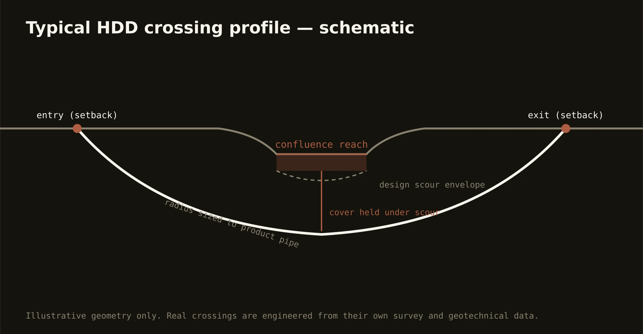
Technically these crossings read both banks at once: bluff-side approaches drill loess into limestone with dissolved-rock manners, Bottom-side sags run deep alluvium with buoyancy and settlement engineered, and fluid discipline holds river grade throughout — containment both banks, conservative pressures over the karstic reaches, monitored returns, and the response plan written before the pilot turns.